From the Frontiers of Data to the Frontlines of Land Use
Convened by World Resources Institute and the Bezos Earth Fund
Land & Carbon Lab develops breakthroughs in geospatial monitoring to help governments, businesses and communities power solutions for sustainable landscapes worldwide.
By synthesizing troves of satellite data, we provide decision makers with actionable information and insights to restore degraded landscapes, protect forests and nature, and produce land-intensive commodities more sustainably.
And we don’t just create data — we’re partnering with diverse organizations to create real world impact, from corporate leaders and policymakers to Indigenous Peoples and local communities.
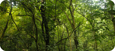
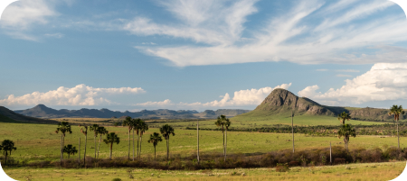
Global Land Squeeze
Humanity is putting unprecedented pressure on the world’s land, barreling toward climate, biodiversity and humanitarian crises. This pressure is driving increasing competition over finite land resources — a global land squeeze.

Our Data
-
![]()
Global Land Cover Change
Tracks how land cover and land use is changing around the world over time.
-
![]()
OPERA Land Surface Disturbance Product (DIST-ALERT)
Detects disturbances to vegetation anywhere on earth in near-real-time.
-
![]()
Dynamic World
Provides near-real-time information on our constantly changing planet.
-
![]()
Tropical Tree Cover
Shows trees inside and outside of dense forests at 10-meter resolution in the tropics.
-
![]()
Tree Cover Gain and Net Change
Shows tree cover height, tree cover gain and net change in tree cover worldwide.
-
![]()
Global Cropland Change
The first global map of cropland extent and change.
-
![]()
Global Grassland and Pasture Monitoring
information on grassland and pasture extent, productivity and livestock density.
-
![]()
Global Cropland Yield and Area
Globally consistent time series of crop area, yield, crop utilization, and change over time.
-
![]()
Forest Carbon Fluxes
Provides spatially explicit data on emissions, removals and net carbon fluxes from forests.
-
![]()
Global Forest Carbon Stocks: Past, Present and Future
Maps historical and future forest carbon stocks under different climate change scenarios.
-
![Natural Lands Map]()
Natural Lands Map
Global baseline map of natural lands in 2020.


Insights & Analysis
-
![]()
New Data Shows Where, and How Much, Crops are Produced Around the World
Article
-
![]()
Innovative New Data Detects Disturbances in Near-Real-Time for All the World's Vegetated Land
Article
-
![]()
Higher-Res Data Set Now Shows Trees Inside and Outside Forests Across the Tropics
Article on wri.org
-
![]()
Natural Lands Map Provides Baseline for Companies’ No Conversion Targets
Article
-
![]()
Global Pasture Watch: Mapping & Monitoring Global Grasslands and Livestock
Webinar recording
-
![]()
Indigenous Forests Are Some of the Amazon’s Last Carbon Sinks
Article on wri.org
-
![]()
The World Is Growing More Crops — but Not for Food
Article on wri.org
-
![]()
20 Years of Land Cover Data Reveals Important Transformations of Our Planet
Article
-
![]()
It’s Time for Supply Chains to Go Conversion Free — For the Climate’s Sake
Article on wri.org
-
![]()
What Does Cropland Expansion Mean for People and the Planet?
Webinar recording
-
![]()
5 Takeaways on Cropland Expansion and What It Means for People and the Planet
Article on wri.org


Stay up to date
Join our mailing list to stay up to date on the latest research and innovations.
Our Partners


