Conservation Carbon Map
Overview
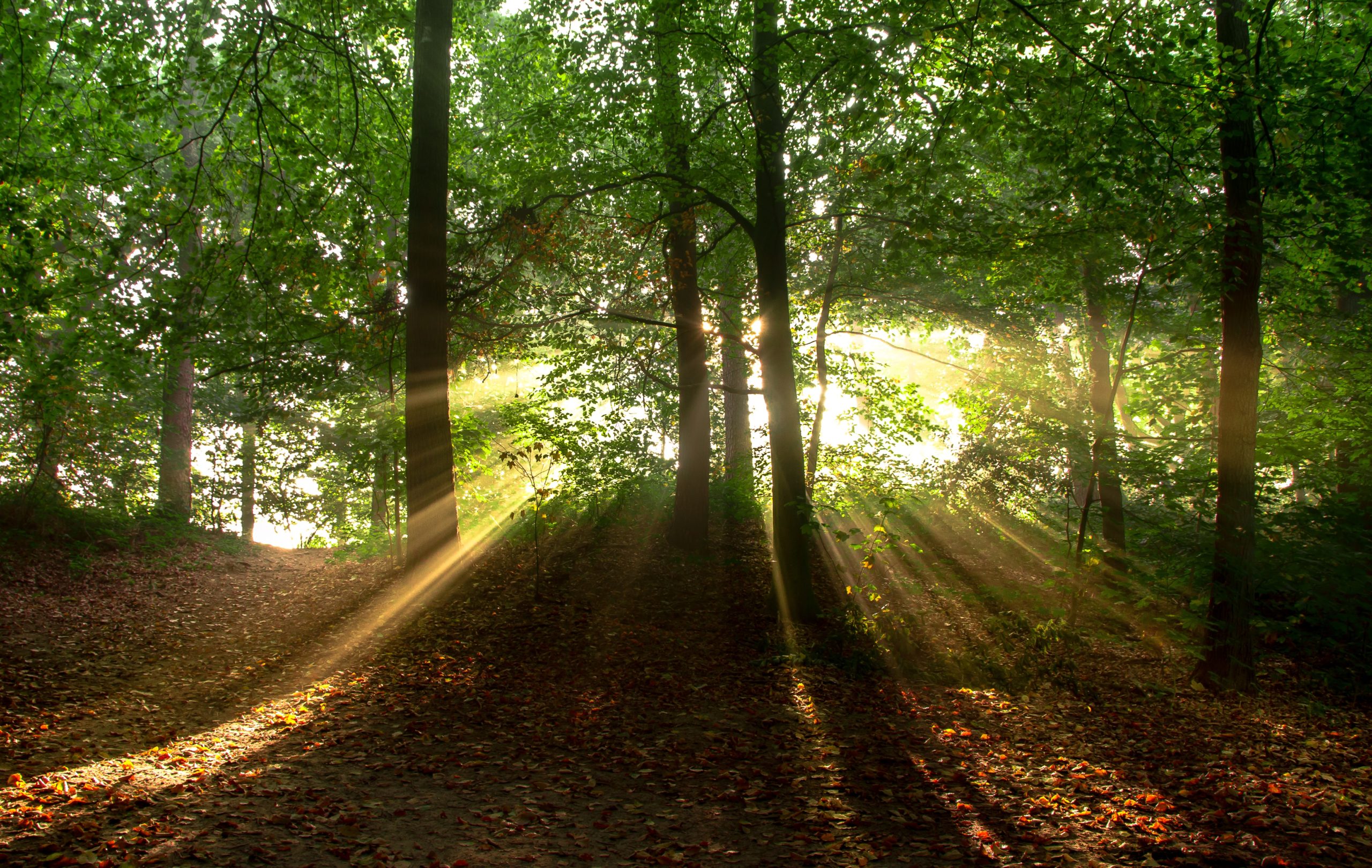
As climate change impacts intensify around the world, nature-based carbon sequestration and storage are essential tools to addressing the climate crisis. In fact, research has shown that cost-effective natural climate solutions in the U.S. have the potential to absorb 21% of our current net annual greenhouse gas emissions. The question remains, however, where to focus conservation in order to maximize climate benefits. The Conservation Carbon Map can help answer that question and more.
The Conservation Carbon Map is an innovative tool that helps users answer three key questions:
- Where are existing forest carbon stocks and areas with high annual carbon sequestration rates?
- What and where are the threats to these carbon-rich landscapes from development, insects and disease, and wildfire risk?
- Where can climate conservation also provide multiple co-benefits by protecting drinking water supplies, rare ecosystems, and important habitat cores?
This tool summarizes these data at the state, county, and watershed scale as well as for approximately 3 million parcels across the U.S that are larger than 100 acres. Click the mapping application below to get started exploring these data.
Brief Video Tutorial
This video describes how to utilize the features of the tool.
Mapping application
Click the above link to create your own free user account and then explore the Conservation Carbon Map.
Data description
Learn about the data used for the analysis.
Learn more about the Trust for Public Land’s climate work
At the Trust of Public Land, we are committed to using our conservation expertise to help address the climate crisis. Click the link to learn more about our climate work.
Thank you to our funders
This work was made possible, in part, thanks to generous support provided by the Royal Bank of Canada’s Tech for Nature Program.