


Acres Protected

Pump Stations

Miles of Levee

Residents

Miles of Sloughs, Canals, and Culverts
Jobs
The Urban Flood Safety & Water Quality District (the “UFSWQD”) will ultimately replace the four Drainage Districts that manage the system today (PEN1, PEN2, MCDD, SDIC) and help to establish a safer, more modern and sustainable way to manage flood safety along the Columbia River in the Portland metro region.
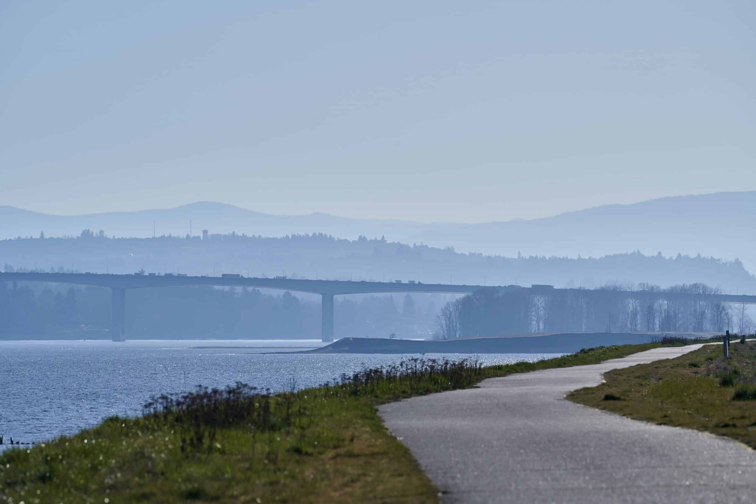
The Multnomah County Drainage District (MCDD) helps protect lives and property from flooding by operating and maintaining flood management systems for nearly 13,000 acres of land along the Columbia Slough and the lower Columbia River. We manage and maintain flood control systems such as levees, pump stations, and flow control structures that reduce flood risk for residential communities and vital public infrastructure such as the Portland International Airport, sections of I-5, I-205, and I-84, and Oregon’s second largest supply of drinking water.


vancouver gage – National Weather Service

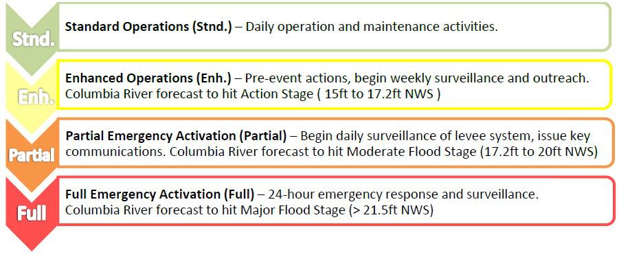
MCDD FLOOD CATEGORIES
During high water and heavy rain events, the Districts implement emergency action plans to keep levees and facilities functioning to protect life, property, and the environment. MCDD uses the National Weather Service (NWS) Vancouver Gage on the Columbia River (pictured left) to make flood emergency related decisions.
Our emergency response categories are divided into four levels:
The Urban Flood Safety and Water Quality District has referred a measure to voters in the District at the May 21, 2024 Primary Election. Download the proposed ballot title below.
Emergency Alerts to Keep You Safe
PublicAlerts sends emergency alerts via text, email, or voice message. It’s a *free service for anyone who lives, works, or visits the Portland-Vancouver Region. Personal information is kept secure and private. (*Message and data rates may apply depending on your provider and phone services.)